Welcome
to the Cashiers Valley
MAP-IT
|
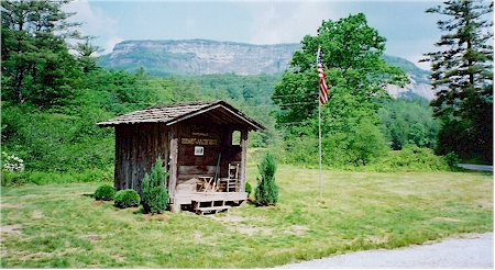
It's a great corner of southwestern North Carolina, a green valley 3,484 feet high surrounded by mountains rising up to 5,000 feet. It's not the foothills, but the southern crest of the Blue Ridge Mountains. North Carolina Highway 107 takes you north and south. U.S. Highway 64 takes you east and west. But it's the less traveled roads, like Whiteside Cove Road and Bull Pen Road, that take you through the mountains to the beautiful places...where you learn to know the craggy stone faces of Yellow Mountain, Whiteside Mtn., Chimney Top, and Whitewater Falls where you hear the thunder of the tallest waterfall in the Eastern United States... and where, from The Overlook, you see mountains upon mountains. The pace of life is such that you can do some things you seldom have time to do. Sit by a rushing creek basking in the warmth of the sun on your back. Amble along a trail, stopping often to admire a wildflower or to look up into a tree to find that elusive bird that is singing to you. Take a leisurely ramble in your car, exploring, finding grand mountain views, weathered barns, tiny towns that are nothing more than a filling station and a post office. Note: the Cashiers Valley is a "Dry Area" for dining with spirits one must go up to Highlands.
Link To The Cashiers Historical Society
|